Carlingwood and its boundaries
This guide uses the community association area bounded by Richmond, Sherbourne, Carling and Woodroffe; other guides apply the name to a larger area.
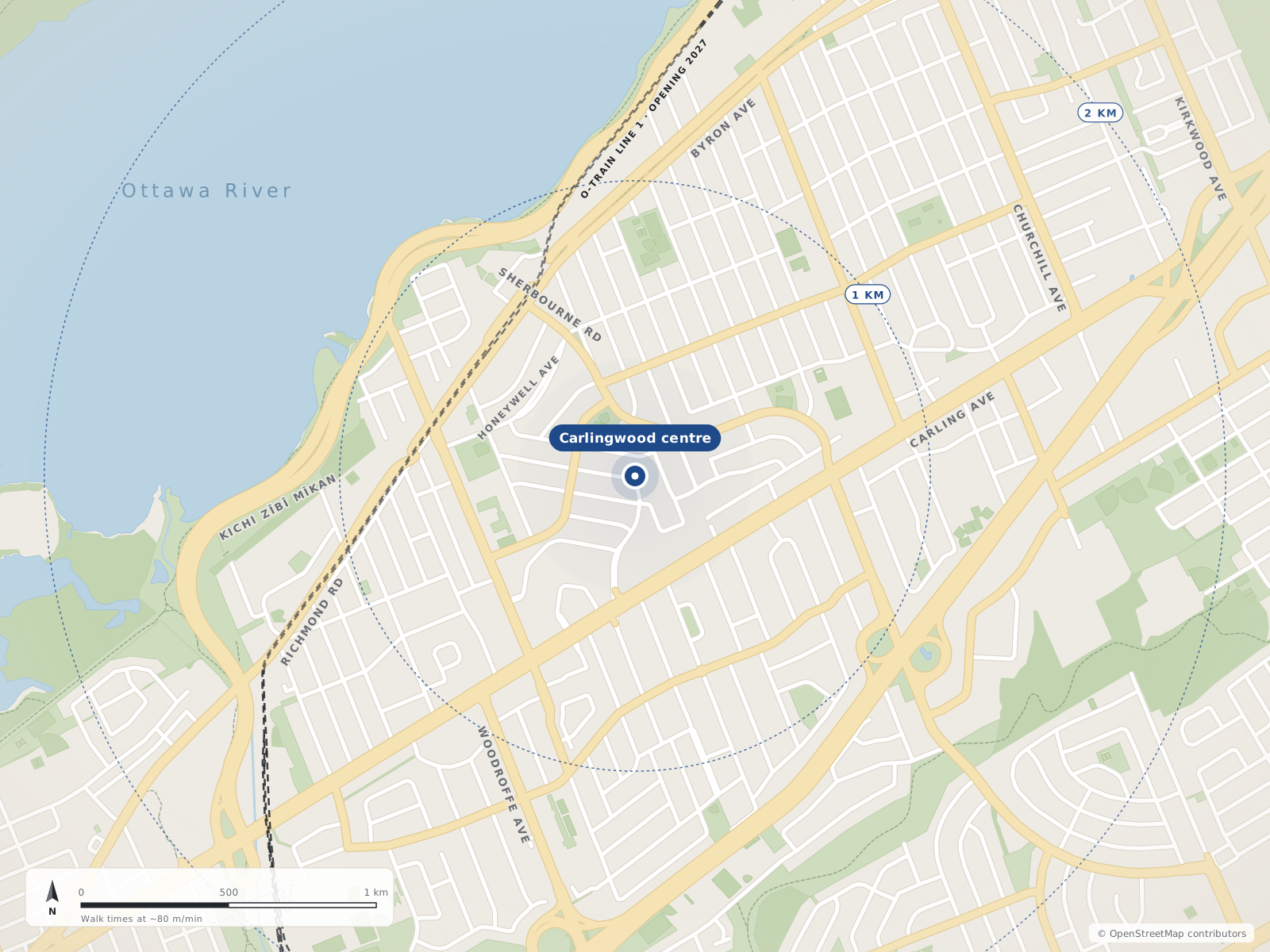
Carlingwood is a residential neighbourhood around Carlingwood Shopping Centre in Ottawa's west end, in Bay Ward. The community association area lies between Richmond Road, Sherbourne Road, Carling Avenue and Woodroffe Avenue. The shopping centre opened in 1956, with the surrounding neighbourhood developing later in that decade. Everyday destinations include Loblaws and Rexall at the shopping centre and the Carlingwood library branch at 281 Woodroffe Avenue.
Updated · Facts on this page link to their sources
Neighbourhood centres
- 1Carlingwood0 m
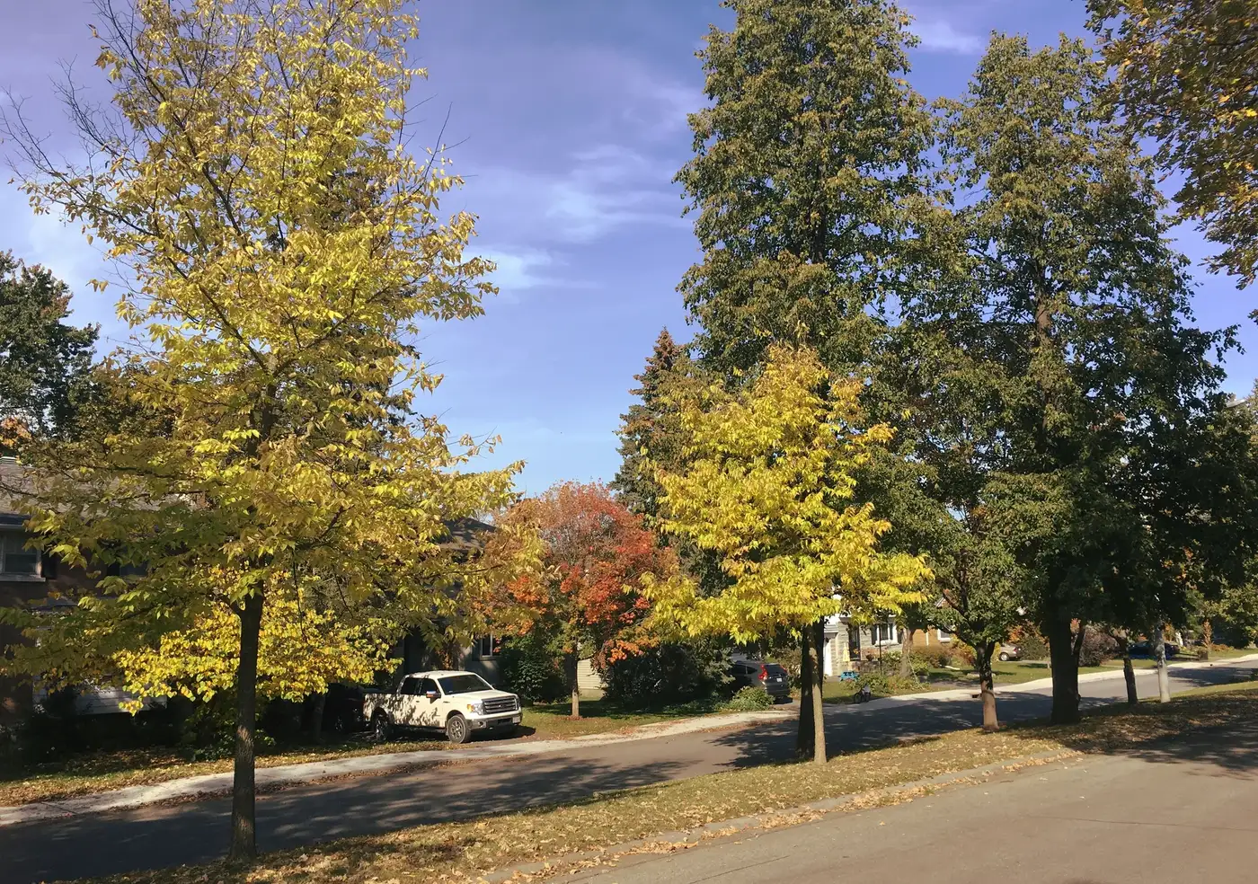
Knightsbridge Rd. - McKellar Heights (37127076034). Photo: Ross Dunn, CC BY-SA 2.0, via Wikimedia Commons 01Carlingwood
Explore the residential neighbourhood around Carlingwood Shopping Centre, with local parks and a public library.
This guide uses the Carlingwood Community Association area described by Olde Forge Community Resource Centre: Richmond Road to the north, Sherbourne Road to the east, Carling Avenue to the south and Woodroffe Avenue to the west. Definitions vary: All Things Home uses a larger Carlingwood area that also includes several surrounding neighbourhoods.
Quick answers
Short answers first; each links to the full answer and its sources.
Where is Carlingwood?
Carlingwood is in Ottawa's west end, in Bay Ward, around Carlingwood Shopping Centre. The core neighbourhood is roughly bounded by Richmond Road, Sherbourne Road, Carling Avenue and Woodroffe Avenue.
As of 2026-10-30 · en.wikipedia.org oldeforge.ca
What are homes like in Carlingwood?
Carlingwood includes detached houses and apartment buildings. A 2021 planning rationale filed with the City describes detached dwellings within Carlingwood and medium- to high-rise apartments along Carling Avenue.
As of 2026-10-30 · webcast.ottawa.ca
Why do different guides show different Carlingwood boundaries?
The community association area is bounded by Richmond Road, Woodroffe Avenue, Carling Avenue and Sherbourne Road. All Things Home uses a larger area that includes Glabar Park, Whitehaven, Woodpark, McKellar Park and Highland Park, so its broader description is not interchangeable with this guide's core area.
As of 2026-10-30 · oldeforge.ca allthingshome.ca
What municipal ward is Carlingwood in?
Carlingwood is in Bay Ward, numbered Ward 7 by the City of Ottawa. The City's ward maps are the source to consult for the municipal ward of a specific address.
As of 2026-10-30 · en.wikipedia.org ottawa.ca
How many people live in Carlingwood?
Wikipedia's Ottawa neighbourhood census table reports 3,622 people in 2021 for Carlingwood, using census tract 5050032.01. This is a dated census-tract figure, not a current population estimate or a total for every area marketed as Carlingwood.
As of 2026-10-30 · en.wikipedia.org
Is Carlingwood walkable for everyday errands?
Carlingwood has grocery and pharmacy destinations at the shopping centre, and the public library is at 281 Woodroffe Avenue. These locations provide specific errands to test on foot from a prospective home; this guide has not verified a neighbourhood-wide walking score or walking time.
As of 2026-10-30 · anthemproperties.com about.biblioottawalibrary.ca